 City of Blue Island Think Outside the Loop
Blue Island’s waterfront is a unique resource for recreational opportunities, economic development and quality of life for our community and neighbors.
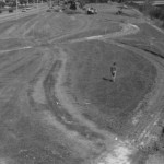
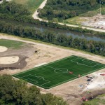
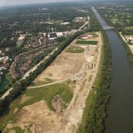
About the project:Following the recent lease of 130 acres from the Metropolitan Water Reclamation District of Greater Chicago, Blue Island has joined forces with the Metropolitan Planning Council, Weaver Boos Consultants and Smith Group JJR to develop a long-term plan for the redevelopment and revitalization of the Cal-Sag waterfront.Stretching from Kedzie Avenue on the west to Racine Avenue on the east, the project area encompasses both the north and south sides of the channel. While most of the land is currently fenced off from public use, planners hope to create a space that improves quality of life for area residents while simultaneously generating new economic activity in the area.
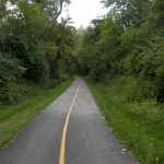
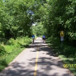
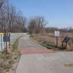
The project coincides with the upcoming development of the Cal-Sag Trail — a 26-mile multi-use trail stretching from Lemont to the Burnham Greenway near the Indiana border — and several other economic development initiatives aimed at creating a healthier, more vibrant Blue Island.
—————————————————————————————————
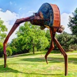
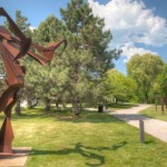
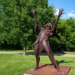
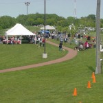
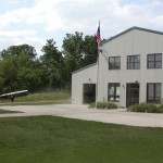
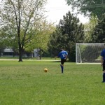
Success Stories:
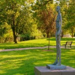
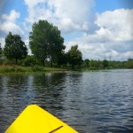
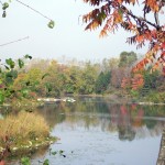
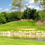
Blue Island is not the first community to develop land leased from MWRD. The following slide show highlights several successful projects in the Chicago region.


—————————————————————————————————
For more information about the Blue Island waterfront planning project contact:
Jason Berry
City of Blue Island
708-597-8606
jberry@cityofblueisland.org
Residents can also submit comments here:
[contact-form-7 404 "Not Found"]